City of Sydney Council has endorsed new planning rules to redevelop the area around Botany Road and north Alexandria.
The proposed changes will encourage investment in commercial floorspace, provide employment opportunities and creative space for our community, as well as affordable housing in the city’s south.
They include an increase in floorspace and height in the Botany precinct to encourage investment in these developments, which are close to transport hubs and employment centres.

We estimate the new planning controls will create more than 15,000 jobs in industries from office-based employment to high-end manufacturing, helping meet future demand for jobs in the local area.
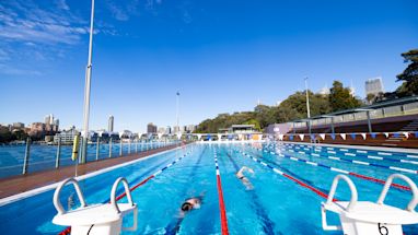
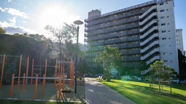
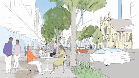
The changes will improve public spaces. Wider footpaths and new cycleways and laneways will improve the area’s walkability. And it will be easier to access public transport, including the new Waterloo metro station.
City of Sydney director of City Planning, Development and Transport, Graham Jahn AM, said location was a major reason for the proposed planning rules for the Botany Road and North Alexandria area.
“These changes provide substantial new floor space and unlock the potential of areas that are strategically located between the CBD, Sydney airport and Port Botany,” he said.
“We’re investing in public spaces to breathe life into older commercial and industrial areas. We’re also establishing new planning controls that support growth and promote the economy in a centralised, but often overlooked, location.
“These areas are close to public transport, including the new Waterloo Metro, as well as amenities in and around Green Square town centre.”

The north Alexandria precinct covers 36 hectares in area. It is bound by McEvoy Street to the north, Wyndham Street to the east, Bowden Street to the West, and O’Riordan and Johnston streets to the south.
The proposal for the north Alexandria precinct seeks to amend the Sydney local environmental plan and Sydney development control plan to:
- build on opportunities created by the City of Sydney’s recent investment in open space in the area
- encourage businesses to form an entertainment destination
- create a mid-rise enterprise precinct and increase opportunities for commercial offices close to public transport
- preserve heritage character and encourage well-designed adaptive reuse
- continue to facilitate affordable housing in north Alexandria
- provide flexible built form that accommodates the needs of a range of employment types and can be modified as businesses grow and evolve.
The Botany Road precinct covers 21.4 hectares to the east and west of Botany Road. It is bound by Gibbons Street to the north, Cope Street to the east, McEvoy Street to the south and Garden and Wyndham streets to the west.
The Botany Road precinct planning proposal seeks to amend the Sydney local environmental plan and Sydney development control plan to:
- recognise and celebrate the historical significance of the area to Aboriginal and Torres Strait Islander people
- encourage the delivery of new commercial buildings and new affordable housing developments
- enable the creation of a new laneway network, footpath widenings, new street plantings
- encourage high environmental performance standards for buildings
- ensure 10% or more of any affordable housing projects is provided for First Nations people
- revitalise Regent Street in Redfern as a high street that’s active at day and night.

Recognising and respecting the area’s cultural, historical and political histories were an essential part of the Botany precinct proposal. The proposal account for the high importance of Botany Road and the surrounding area to First Nations people – not only for its connection to country but as a place central to the Aboriginal rights movement.
The City of Sydney’s Aboriginal and Torres Strait Islander communities were widely consulted at early stages of developing the proposals for Botany Road and north Alexandria.
Both proposals will be referred to the state government for gateway determination in August, with public exhibition expected in late 2021.
Published 27 July 2021, updated 28 July 2021