Our history and heritage

In pictures: Crown Street through the centuries

As we plan a future transformation for Crown Street, see how the route evolved over 200 years.

  • Sydney from Surry Hills, 1819

    This watercolour painting by Joseph Lycett shows Sydney as viewed from Surry Hills. In the first decades of the 19th century, Surry Hills was on the fringes of the city. There were few people living there, and the land was mainly used for grazing sheep and cattle. Lycett depicted Aboriginal peoples in the bottom left-hand corner of this painting.

    Mitchell Library, State Library of NSW, ML 54

  • Francis Webb Sheilds, City of Sydney map, 1845

    This extract of an 1845 map drawn by Francis Shields shows the street layout in Surry Hills. Crown, Bourke and Dowling streets were the main thoroughfares running north-south. The sparse subdivisions in this suburb were clustered around Albion and Fitrzoy streets.

    City of Sydney Archives, A-00880420

  • Crown Street Public School, 1887

    Established in 1863, Crown Street Public School opened on this site in 1878 and moved into the Gothic-style building in 1880. Over 1600 children were enrolled within its first year at Crown Street.

    City of Sydney Archives A-00028708

  • Crown Street Reservoir, circa 1890

    Completed in 1859, Crown Street Reservoir is the oldest water supply reservoir still in use in Australia. It features a brick underground water reservoir with a turfed roof and a capacity of about 14 megalitres.

    City of Sydney Archives A-00069734

  • Noise nuisance on Crown Street, 1897

    In December 1897, R Mackey of 311 Crown Street Surry Hills wrote to the City of Sydney Council to complain about the noise from the frequent explosions of a gas engine at Lassetter & Co's factory on nearby Hill Street.

    City of Sydney Archives, A-00335491

  • Crown Street Women’s Hospital

    Founded by Dr James Graham in 1893, the former women’s hospital on Crown Street aimed to lift medical standards for maternity care. The hospital provided wards for surgical cases and complicated births, the training of midwives, and home treatment.

    Photograph by Hall & Co in the early 20th century

    State Library of NSW, Home and Away – 34782

  • Chinese Presbyterian Church and Hall, 1930s

    The Chinese Presbyterian Church and Hall (formerly Fullerton Memorial Presbyterian Church), designed in Federation Academic Gothic style, was built in 1905. This church on the corner of Albion and Crown streets represents the largest and oldest surviving Chinese congregation in Australia.

    State Library of NSW, Home and Away – 34771

  • Crown Street Surry Hills, circa 1940s

    View south along Crown Street, near the corner of Campbell Street. On the left, a man waits to cross. On the street opposite is the modern factory built for Beckers, who made Bex powders here from the 1940s and a chimney from the Crown Street Reservoir. Crown Street Women’s Hospital can be seen in the distance.

    City of Sydney Archives A-00011566

  • Crown Street Surry Hills 1953

    Tram runs south along Crown Street, Surry Hills, in 1953. Fullerton Memorial Presbyterian Church and Crown Street Women’s Hospital on the left.

    City of Sydney Archives A-00057630

  • Children reading a Tintin comic in Spanish at the Surry Hills Branch Library, circa 1977

    Sydney Municipal Council opened the Anthony Doherty Library at 405–411 Crown Street, Surry Hills, in May 1956. This building was demolished in 2006 and replaced with a new state-of-the-art Surry Hills Library and Community Centre in 2009.

    City of Sydney Archives, A-00021735

  • Locals at Shannon Park as part of the Surry Hills Festival, 2004

    This reserve on Crown Street, between Foveaux and Collins streets, was established in 1939. The land was previously used as a livery stable and coal yard. Thomas John Shannon was the namesake for the park. Shannon was an alderman on council from 1921 to 1948 and a Member of Legislative Assembly from 1927 to 1953.

    City of Sydney Archives, A-00065181

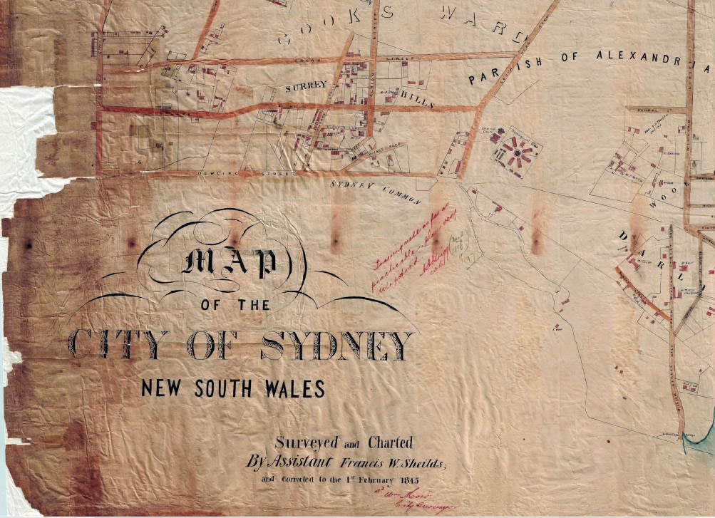
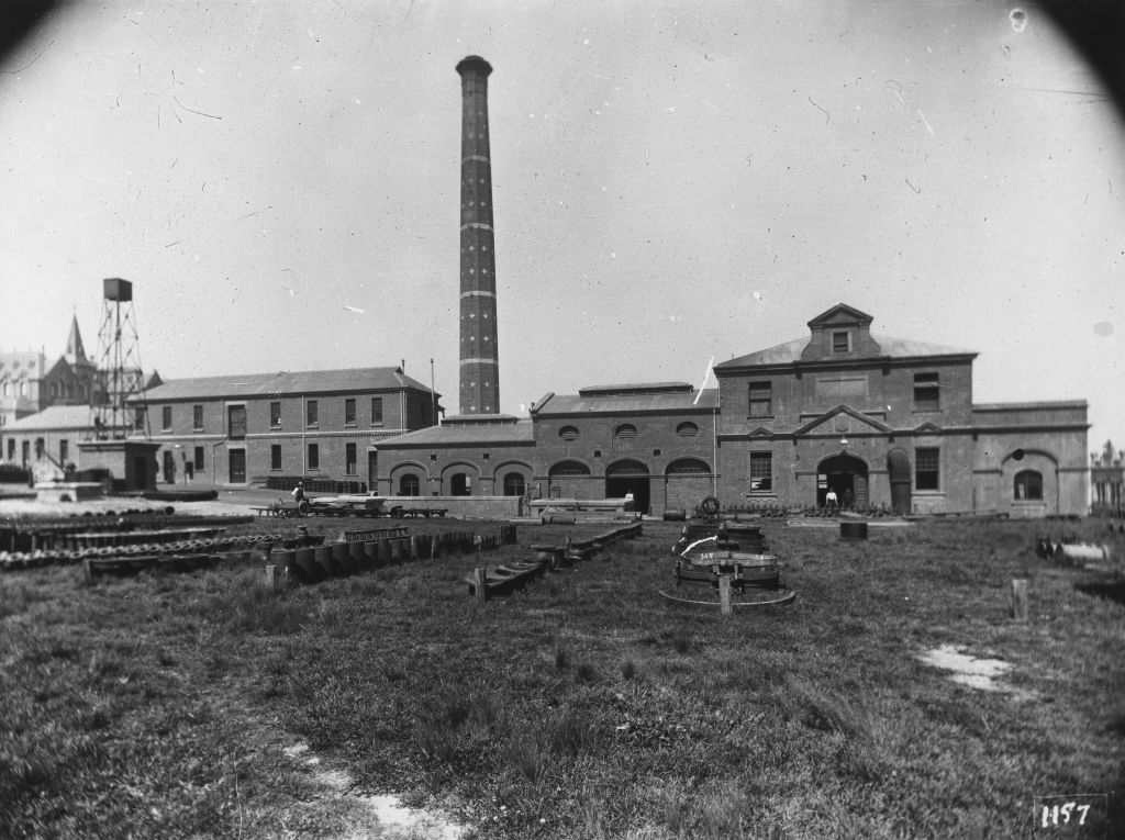
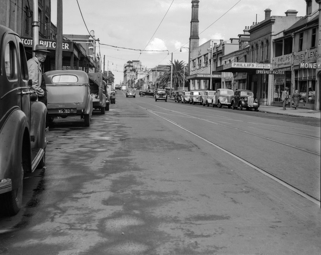
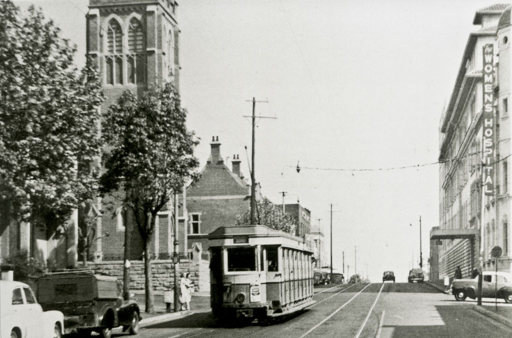
Surry Hills is defined by its topography: – sand dunes, swamps, a sandstone plateau and a ‘shale cap’ that’s weathered into a hard blue clay that made the area impossible for farming and would later cause drainage problems. Today’s Crown Street sits on top of the plateau of sandstone which runs north-west between Woolloomooloo and the sandhills in the vicinity of today's Central Station.

We’re planning to upgrade Crown Street and would love to hear your thoughts. Feedback closes 19 September.

Published 31 August 2022, updated 6 September 2022